Sotex partnered with Beacon Power Services to extend CAIMS with an AI powered drone asset mapping module that converts aerial imagery into precise geocoordinates and 3D asset models. Using automated object detection, coordinate computation, and 3D reconstruction, the system eliminates manual surveys and achieves sub meter accuracy. As a result, utilities and infrastructure operators can digitize large asset networks faster, reduce field costs, and gain reliable, spatially accurate data at scale.
Overview
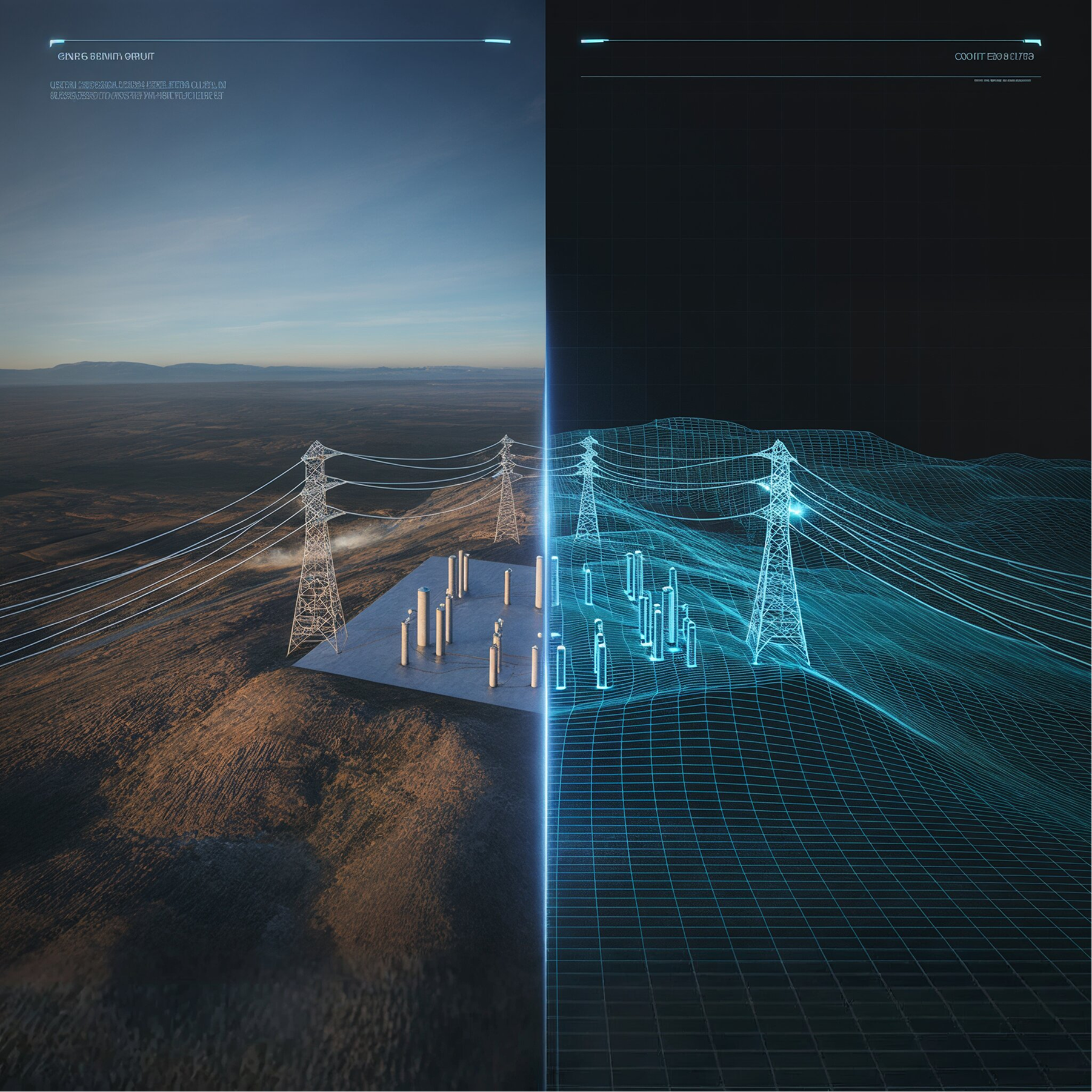
Beacon Power Services (BPS) partnered with Sotex Solutions to enhance CAIMS (Customer & Asset Information Management System) with a cutting-edge module for automated asset mapping. Many industries — from utilities and energy to construction, telecom, and infrastructure — face challenges with incomplete or outdated asset records. Traditional field surveys are costly, time-consuming, and error-prone. With Sotex’s solution, a single drone flight now produces georeferenced coordinates and 3D models for every detected asset — with no manual steps required.
Challenges
- Outdated or incomplete asset location data
- Costly and slow field surveys
- Human error in manual data collection
- Lack of scalable, repeatable processes for digitizing asset inventories
Our Solution & Key Features
The Drone Deploy Asset Data module consists of three main activities, each playing a critical role in achieving precise, automated results:
- Object Detection on Images (AI Computer Vision): Using advanced image segmentation and classification (Mask R-CNN), the system identifies and labels assets such as poles, transformers, substations, buildings, or other infrastructure directly from drone imagery.
- Coordinate Computation: Translates the coordinates from the image into real-world geocoordinates, combining DEM, refined camera parameters, and image metadata to deliver centimeter-level mapping precision.
- 3D Reconstruction: Builds accurate 3D models of each detected object, enabling spatial analysis, planning, and asset visualization.
Through these three stages, the entire process is fully automated and highly accurate, achieving a maximum positional error of only up to 2 meters.
Additional Capabilities
- Data preprocessing: DEM generation from .LAS point clouds and refined camera geometry for precise alignment
- Seamless integration: Outputs flow directly into CAIMS’ central database or external systems for immediate operational use
- Versatile applications: Suitable for mapping any type of physical asset, not just energy grid components — including telecom towers, pipelines, roads, and construction sites
Key Achievements
Fully automated pipeline: “fly once, auto-process everything.”
Less than 1m positional error across full workflows
Eliminated manual survey steps
Accurate per-asset geocoordinates and 3D models generated automatically
Scalable across large networks, enabling rapid digitization for utilities, telecom, construction, and infrastructure
Technology Stack
Frontend: Angular
Backend: .NET Core, Python
AI: Azure
Conclusion
By extending CAIMS with the Drone Deploy Asset Data module, BPS and Sotex Solutions delivered a versatile, high-precision mapping solution applicable across industries. The system dramatically reduces survey costs, accelerates asset digitization, and provides reliable, georeferenced 3D data — whether for grid infrastructure, construction sites, or telecom networks.
Ready to digitize your organization’s assets with zero manual effort?
Contact Sotex Solutions to explore how we can build tailored systems that drive results.
📧 contact@sotexsolutions.com
📞 +381-64-165-7193